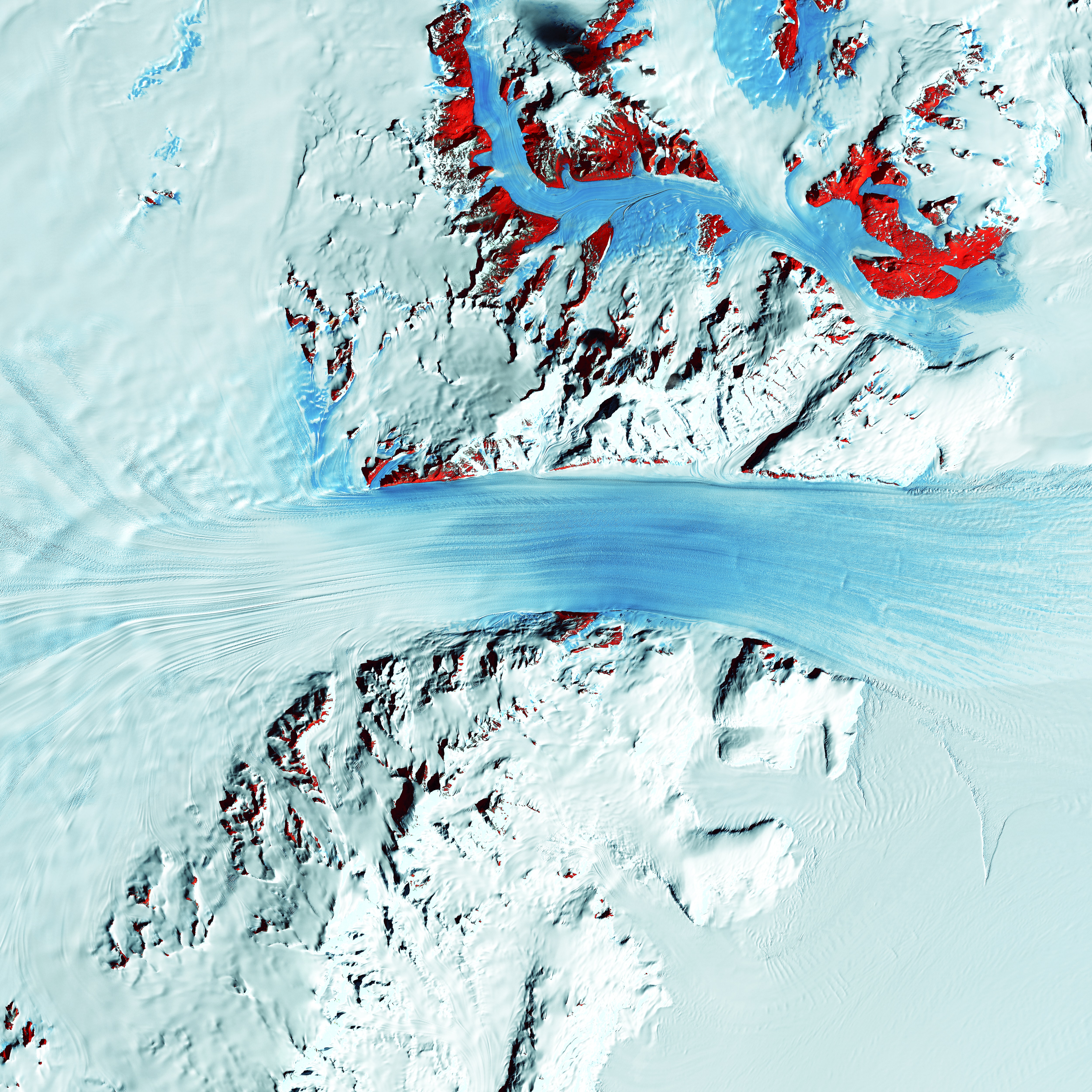
Remote sensing imagery
Remote sensing is the process of detecting and monitoring the physical characteristics of an area by
measuring its reflected and emitted radiation at a distance.
NordMap offer a comprehensive range of remote
sensing, photogrammetry and radar services
that will assist your organisation in leveraging
additional benefits from satellite and aerial
imagery.
Bespoke surveys
NordMap can offer various street-level mapping data sets depending on the style, area and size required.
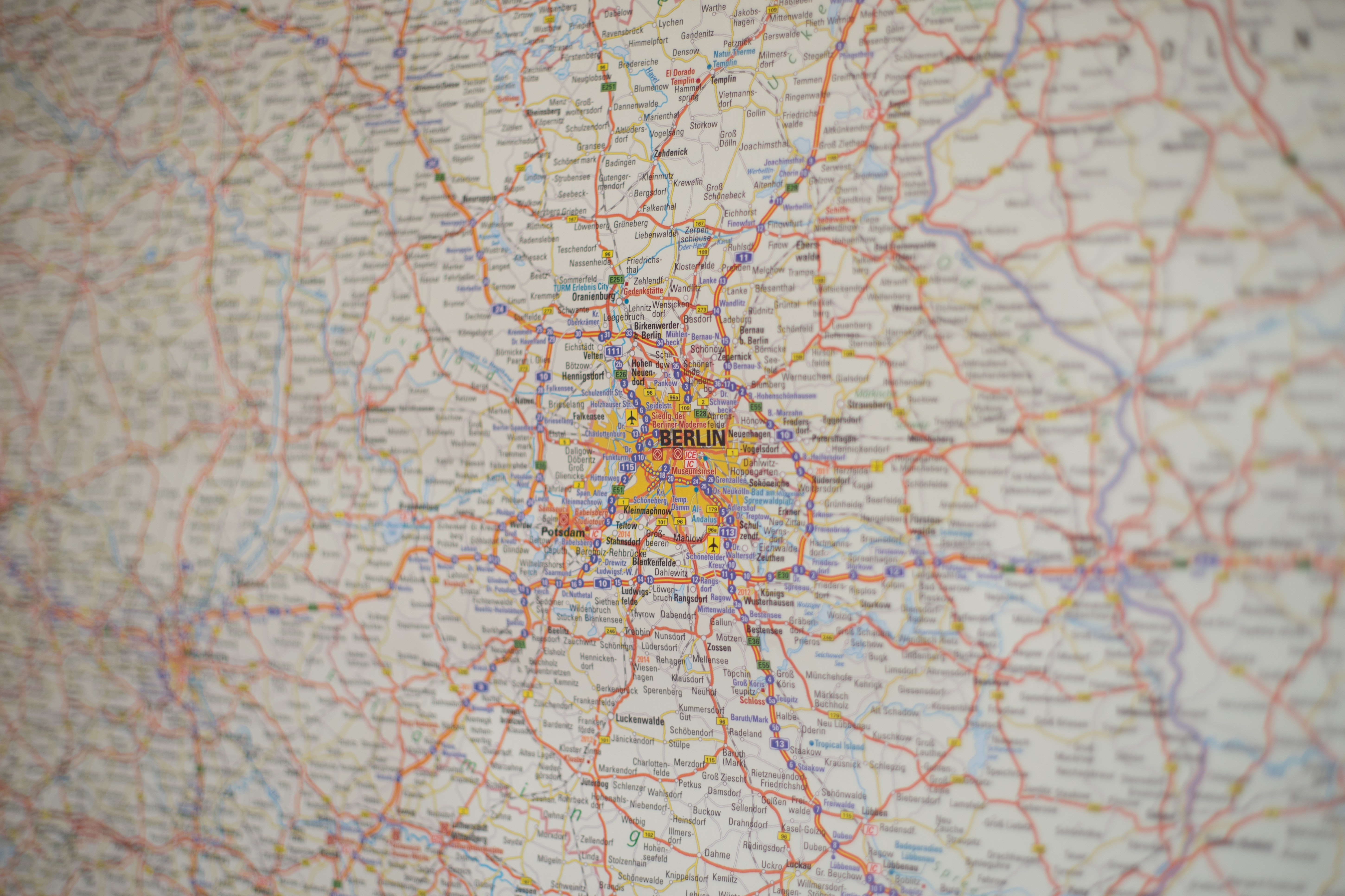
Vector Maps
A vector map, i a database of points, lines and polygons which collectively make up all the features on the
map.
NordMap offers detailed, street-level vector data that offers great flexibility and considerable
amount
of
information.
.jpg)
LiDAR Data
Lidar — Light Detection and Ranging — is a remote sensing method used to examine the surface of the
Earth.
LiDAR data captured at 1m resolution that can be used in a wide variety of markets.